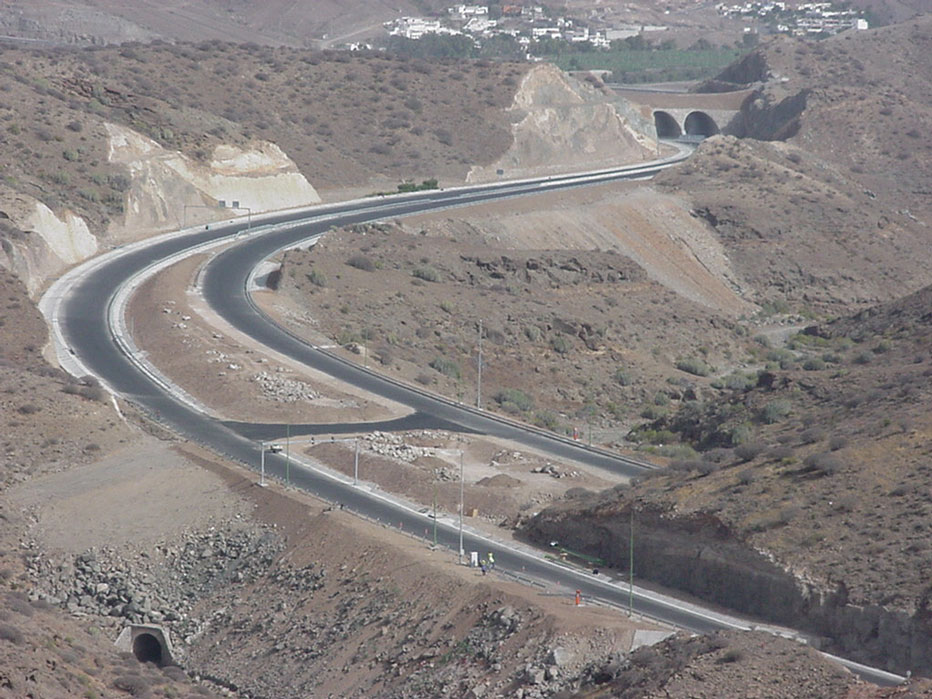
The project consists of the definition of a highway, the corresponding Environmental Impact Study in detail, and the overall analysis of the feasibility of the project in the western zone of the island of Gran Canaria. The strip affected by the new roadway runs through three municipalities on the island, San Nicolás de Tolentino, Artenara and Agaete; this is a sensitive zone from an environmental point of view with various figures protected environmentally.
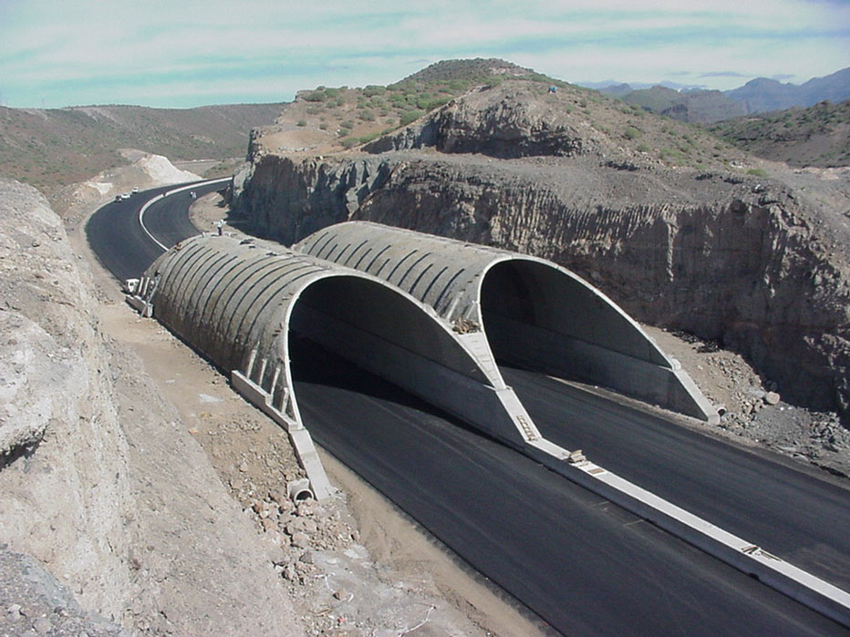
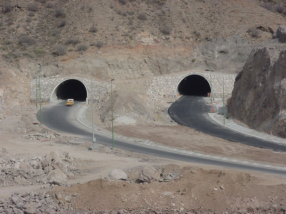
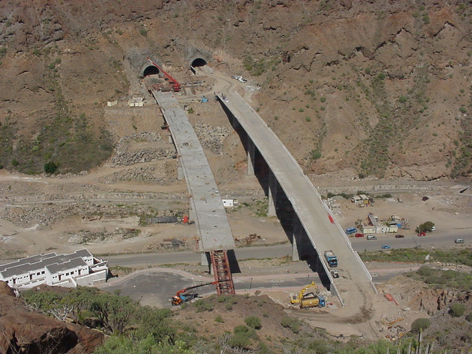
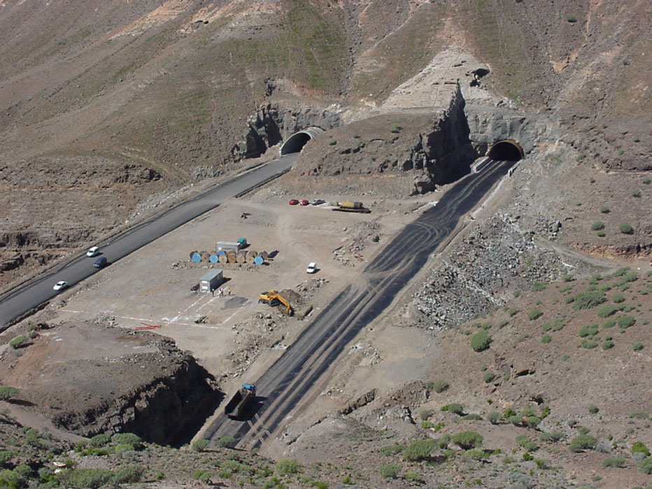
The road defined has a total length of 18,620 metres, including 10 tunnels, 1 false tunnel, 3 junctions, 2 intersections, 9 viaducts and 47 cross drainage, with a total of earth movement of 3,172,063.81 m3.
The route is of particular note, since it runs practically all its course (77%), through an area of special environmental sensitivity, the Natural park of Tamadaba, code C-09, which is in turn the Tamada Special Canary Island Zone no 49_GC and Tamada Special Protection Area for Birds, catalogued within the Red Natura 2000, the Roque Nublo Rural Park, the Inagua Nature Reserve and the Güi-Güí Nature Reserve. Therefore during the project a complete environmental study was defined.
PHASE I
To enable the description and understanding of phase 1, it can be considered as subdivided in turn into three sections, a first common section of 5,701.66 metres of undivided track, a second section of 3,371.822 metres in length of separate tracks and finally a second joint section of 1,291.143 metre of undivided track.
The undivided track sections are made up in general of a platform 15.50 metres wide, set out in three 3.50 metre lanes, two 1.50 metre verges and two one-metre hard shoulders. In turn the section with separate tracks comprises an 11.50 metre wide platform, set out in two 3.50 metre lanes, an outside verge of 1.50 metres and an inside verge of 1.00 metre, and two 1.00 metre hard shoulders.
Of particular note is the implementation of an emergency braking lane of 445.00 metres in length, with transitions of 117.00 and 55.00 metres for entry and exit, respectively. This lane has a cross section in the braking lane with a platform 25 metres wide and the inclusion of a lane as a braking lane of 4.5 metres and a 2.00 metre shoulder-median.
A total of seven structures (viaducts) are projected along the corridor of Phase I, with a total length of 1,023.40 metres.
As well as the structures, an underpass is projected, which houses the crossroads of the Crossways Junction with the Andén Verde Green Walkway. This structure comprises a frame of 12 metres in span with a minimum clearance of 5.50 metres.
Along the corridor, in this PHASE I, three (3) tunnels are projected with a total length in tunnels of 3,461.00 metres.
As for the rest of the features of the project, of special note are:
- La Aldea de San Nicolás intersection: a roundabout is projected located on the current C-810, connecting that road with the corridor in the project at kilometre point 140, by means of an auxiliary axis created (axis 9 of the roundabout definition), of 56.43 metres in length.
- Andén Verde-Green Walkway Junction: located at kilometre point 3,138.721 of the corridor, consisting of a trumpet type junction, with the crossing track at a lower level than the corridor. The corridor and the crossing road are at 174.79 and 167.92 metres above sea level respectively. This junction connects, via the current C-810, the corridor with the Anden Verde – Green Walkway Viewing Point and, therefore, with the route up to Tirma.
Its geometric definition has been performed through the adoption of 5 axes comprising two direct branches (axes 4 and 6), one semi-direct (axes 2 and 5), and a loop (axis 3) and the crossing road (axis 5). - Güi-Güí Junction: this can be considered as an incomplete trumpet junction, since it only resolves two manoeuvre, one in each direction: La Aldea-Risco and Risco-La Aldea, via the current C-810 road. This comprises two direct type branches and for its geometric definition, only two axes have been needed (axes 2 and 3).
- Of special note is the implementation of 28 cross drainage works, with a maximum flow of 82.304 m3/s and 12 channels, with a maximum flow of 36.015 m3/s.
-
PHASE II
The entire action of this PHASE II takes place in the municipality of Agaete. Action takes place over 7.75 kilometres of new corridor, plus 0.37 km of reconditioning of the secondary road to Agaete.
As with Phase I, it can be considered to be divided into three sections. A first section of 1,129.313 metres in length of undivided track, a second section of 2,782.052 metres in length of separated tracks and a final section of 3,842.946 metres in length of undivided track.
The standard sections are set out in a similar way to Phase I, with separated tracks of 11.50 metres and undivided tracks of 15.50 metres, including a section of 16.50 metres in width, with three 3.50 metre lanes, a 1 metre median, two verges of 1.50 metres and two one metre berms.
A total of two structures (viaducts) are projected along the corridor of Phase II, with a total length of 649.40 metres.
In addition to the structures, an underpass is projected, which houses the Risco-Agaete Branch (axis 4) of the Risco Junction. This structure comprises a frame of 12 metres in span with a minimum clearance of 5.50 metres.
Without a doubt of special note is the Phase II corridor, where eight (8) tunnels are projected with a total length in tunnels of 5,469.00 metres.
The rest of considerations with regards to ervices, facilities, drainage and waterproofing are identical to those of Phase I.
To settle the interconnections of the road as projected with the rest of the existing island roadways and with the existing urban or rural nuclei, along the length of the corridor, in this Phase II two loops are designed, comprising the following junctions and intersections:
- Junction to the entre of Risco Nucleus: located next to the ravine of the same name. This is an incomplete trumpet style junction, with the cross branch road running at a lower level. It connects, via a roundabout which is projected on a modified section of the current C-810, with the centre of Risco.
- Agaete Intersection: this is the end of the corridor as projected. It is located on the existing C-810 and at a distance of 365.92 m. from the centre of Agaete to which it is connected by means of the remodelling of the above-mentioned C-810, projecting a roundabout type intersection of 30 metres in radius.
- Intersection at the Risco Junction: a distribution roundabout is projected with an external radius of 28 m, on the current C-810 as it goes down to Risco. To do this the current road is remodelled, comprising axes 6 and 9 of the set of all the axes projected.

